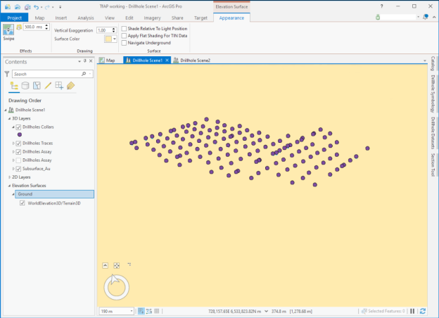
When adding datasets that are located beneath the earth's surface, it can sometimes be difficult to locate or to view them in a standard 3D scene. This tool changes some of the default scene parameters to make subsurface viewing a more natural experience.
The Configure Scene for Subsurface Navigation tool makes the following changes to the Ground Elevation Surface of the active local scene:
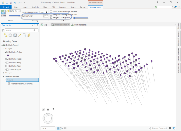
Another ease of navigation feature that is added when Target for ArcGIS Pro is installed, is a modification to the ArcGIS Pro "Zoom To Layer" feature.
If a subsurface layer or dataset is currently selected in the Contents pane, when you right-click Zoom To Layer, the 3D scene will rotate around to show that layer from a position beneath the earth's surface, instead of the default bird's eye view.
|
Access MyGeosoft Support >> for online support and learning resources: Knowledge Base Articles, Guided Learning Path Lessons, Instructional Videos, Technical and Technology Papers, and Best Practices. |
|