2D Grids
Leapfrog Geothermal imports the following 2D grid formats:
- Arc/Info ASCII Grid (*.asc, *.txt)
- Arco/Info Binary Grid (*.adf)
- Digital Elevation Model (*.dem)
- Intergraph ERDAS ER Mapper 2D Grid (*.ers)
- ESRI .hdr Labelled Image (*.img, *.bil)
- SRTM .hgt (*.hgt)
- Surfer ASCII or Binary Grid (*.grd)
2D grids can also be imported from MapInfo files. See Importing a MapInfo Batch File for more information.
To import a 2D grid, right-click on either the Geophysical Data folder or the GIS Data, Maps and Photos folder and select Import 2D Grid. Navigate to the folder that contains grid and select the file. Click Open to begin importing the data.
The Import 2D Grid window will appear, displaying the grid and each of the bands available. Select the data type for each band and set the georeference information, if necessary. See Importing a Map or Image for information on georeferencing imported files.
Once the grid has been imported, you can set its elevation, which is described in Setting Elevation for GIS Objects and Images.
When you display the grid in the scene, select the imported bands from the shape list:
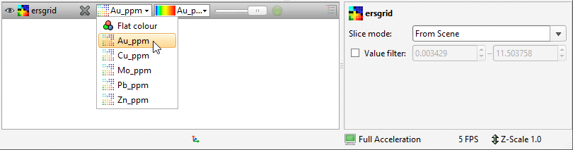
Grids can be displayed as points (![]() ) or as cells and the values filtered, as described in Displaying Points.
) or as cells and the values filtered, as described in Displaying Points.
Got a question? Visit the My Leapfrog forums at https://forum.leapfrog3d.com/c/open-forum or technical support at http://www.leapfrog3d.com/contact/support