
Add a Geostring to 3D View
In the 3D Viewer, use the Add to 3D > Geostring menu option to add a geostring to the current 3D View.
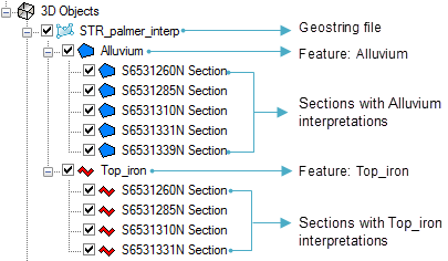
After the geostring has been added to the 3D Viewer, the tree list will show the geostring file name as the top level, the geological feature and the section maps with interpretations.
Got a question? Visit the Seequent forums or Seequent support
© 2023 Seequent, The Bentley Subsurface Company
Privacy | Terms of Use