
DAP Server
Geosoft DAP Server fits into a service-oriented architecture (SOA) and provides the technology for cataloging, managing, delivering and visualizing large, spatial earth science data.
With the DAP Server, your data is instantly accessible and easily shared amongst all the people and teams that need exploration data to make decisions within your organization.
DAP Server Key Features
-
Broad connectivity to mineral exploration data and information sources including Esri and acQuire GIM (Geoscientific Information Management) Solutions.
-
Responsiveness to enterprise requirements for cataloguing, managing, and accessing hundreds of thousands of spatial and subsurface datasets.
-
Simplified search, use, and management of your exploration data.
-
Connectivity of all data stores to industry leading exploration applications including Geosoft Oasis montaj and Target, Esri ArcMap and ArcGIS Pro, and MapInfo.
DAP Key Concepts
Data Cataloging and Publishing
Cataloguing data resources in their native format, projection, and directory structure are key features of DAP. Since there is no requirement to pre-process the data or load it into a spatial database, implementations can be done very quickly. Cataloguing provides a straightforward framework for ensuring that all data resources can be easily found based on spatial location and/or keywords in metadata.
Geosoft DAP is a publishing service that makes spatial datasets available to a networked environment and accessible via a web client application.
Once published to a DAP Server, data can be accessed from a variety of Geosoft Desktop Applications including Oasis montaj, Target, and Extensions for ArcMap. Plug-ins to enable DAP in ArcGIS and MapInfo have also been developed. You can benefit from easy and transparent access to all available data from your desktop.
Data Preview
DAP provides metadata viewing and graphical data previewing. Graphical data previewing enables an image picture of selected data to be displayed in a web application, such as a web page on a web browser, or as a picture in a web-enabled application. DAP supports the OGC Web Map Server (WMS) standard specification to allow web application to view data. By previewing all or windowed portions of data, you can quickly find the data you need.
Data Extraction
DAP data extraction enables the transfer of all or windowed parts of the data at an optimal resolution in any format and in any coordinate system. Transformations to data formats and coordinate systems are performed only after an extraction request is made and only on the specified data. This means that data sets can be stored in their native data formats and coordinate systems.
Depending on the client application, data is either 'clipped, zipped & shipped' or streamed directly to the client application. For "thin" clients, an extraction function requests data for a spatial area, at a required resolution, in a certain coordinate system, and in a specified format. The extraction service places the result in a ZIP file and passes the URL of the ZIP file back to the requesting application, which can download the file and place it on the customer system. A ZIP file extraction function is available to XML clients.
"Thick" clients utilize the TASK streaming technology to obtain compressed data in an optimal way. TASK clients also take advantage of processing power on the client computer to perform the coordinate transformations and conversions to required file formats.
Who Can Use DAP?
DAP's capability enables all explorers including users of the browser-based DAP Web Client, the free Geosoft Viewer, or Plug-ins for ArcGIS and MapInfo to access the Public DAP Server (https://public.dap.seequent.com). This server contains global topographic data as well as magnetic and gravity data for North America and Australia. The datasets (grid and point data) can be used to create sample maps in Oasis montaj and to learn about the DAP technology for accessing high volume data via the internet. More data is also available from the Canadian government on the "Geological Survey of Canada - Geoscience Data Repository for Geophysical Data" DAP server (https://geophysical-data.canada.ca).
For more information, visit the page
How Do You Access the DAP Server?
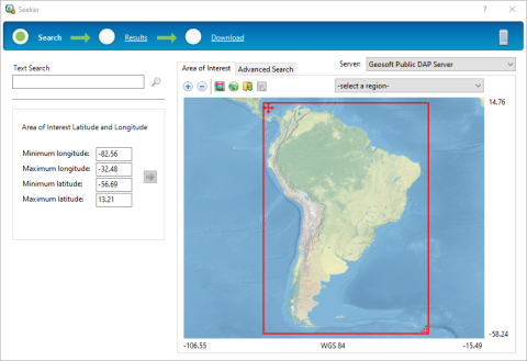
Using Seeker in Oasis montaj
Data on global or corporate DAP servers can be accessed through Seeker. Use this tool to search, view, and extract data stored on DAP and WMS servers. The Results page will present a list of datasets that are available to be downloaded.
Using the Web Client
Web clients, like the Geoscience Data Service, use a web browser to search, view and extract data from a DAP Server. Visit the
DAP Data Formats
DAP's strengths is its ability to efficiently catalog and deliver all data file
types, including very large geospatial grids, images, vector data and voxels. Click
Got a question? Visit the Seequent forums or Seequent support
© 2023 Seequent, The Bentley Subsurface Company
Privacy | Terms of Use