
Geoscience objects
Geoscience objects have a structure that represents a defined geological, geotechnical or geophysical concept. Geoscience objects are added to workspaces via Evo APIs or via connected applications.
This topic describes working with geoscience objects stored in Evo workspaces. It is divided into:
- Browsing geoscience objects
- Searching for geoscience objects using the map
- Viewing more information about objects
- Setting a stage
- Viewing object CRS information
- Viewing the version history
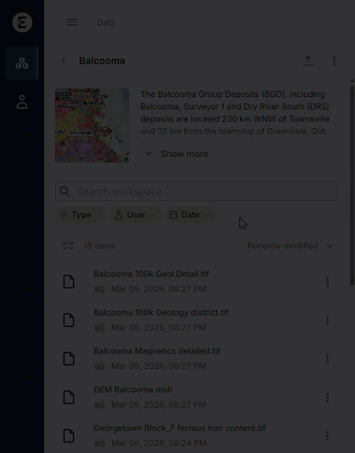
Browsing geoscience objects
When browsing in a workspace, you can filter the list of items stored in the workspace by the data type. For example, here the search is restricted by the Type of object, in this case, geological model meshes and triangle meshes:
From the workspace list, you can display the object on the map, if it contains CRS information. To do this, click on the object’s overflow menu and choose Zoom to extents:
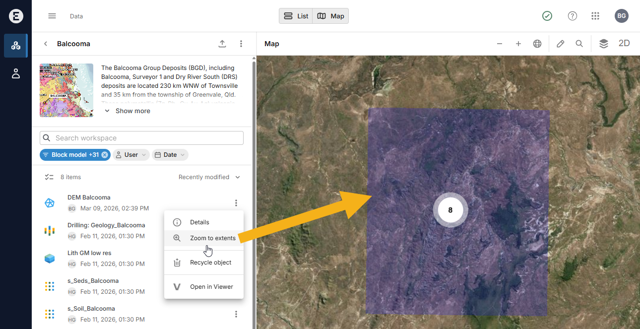
If there is no Zoom to extents option, that is because the object does not contain CRS information.
Many types of geoscience objects can be opened in other Evo apps, such as the 3D Viewer, Driver or BlockSync. For example, here downhole intervals can be opened in the 3D Viewer and in Driver:
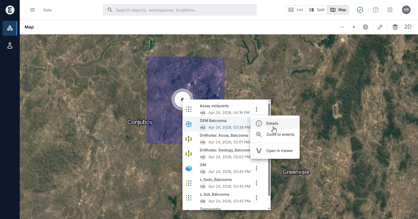
Searching for geoscience objects using the map
On the Data page, you can view geoscience objects projected onto a map. Spatial search shows all geoscience objects in workspaces you have permissions for, if those objects contain Coordinate Reference System (CRS) information. This is useful in understanding what data is available in a region of interest. See the Spatial search topic for more information.
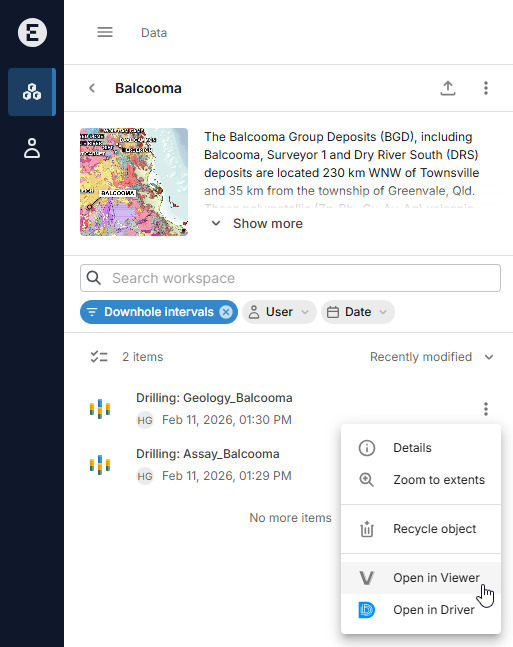
Viewing more information about objects
When browsing objects in a workspace, clicking on them shows more information about them. You can also right-click on objects to open them in separate tabs.
When viewing objects on the map, you can view an object’s details by clicking on the object’s overflow menu and choosing Details:
Right-click on Details if you want to open the object in a separate tab.
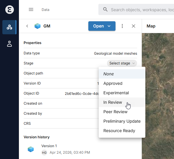
Setting a stage
If you are an owner or an editor of the workspace, you can set a stage for the object that indicates the object’s workflow stage or status.
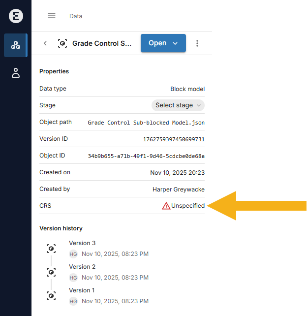
Viewing object CRS information
Objects that do not include CRS information cannot be projected onto the map. If this is the case, there will be no Zoom to extents option for that object. The object’s details list will also show that a CRS has not been specified:
Viewing the version history
New versions of objects are added to Evo when they are published via a connected application or API. You cannot directly upload new versions of geoscience objects via the Evo portal. The version history shows when each version of an object was published and who published it.